Ski · Nordic · Backcountry · United States
Vermont · lift-served terrain
Stowe Mountain Resort
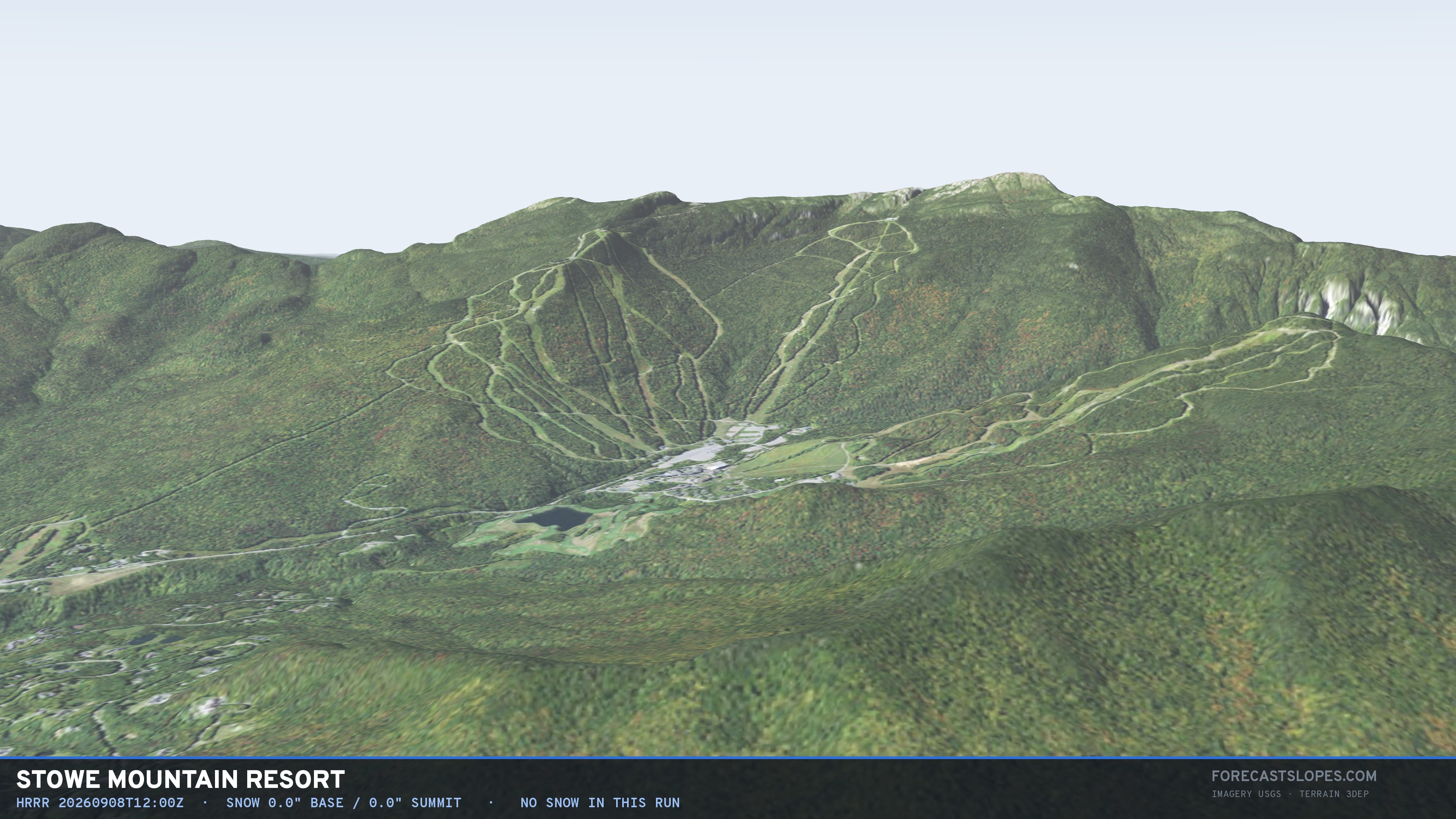
2,356 feet of lift-served vertical, from a base of 1,296 ft to a summit of 3,652 ft. Measured from the lowest and highest lift terminal on this mountain — not a box around a map pin — and cut into 6 five-hundred-foot bands.
2,356
ft vertical
1,296
ft base
3,652
ft summit
10
uphill lifts
2,186
footprint acres
The column
6 bands · base to summit1,000–1,500552 mm
1,500–2,000604 mm
2,000–2,500657 mm
2,500–3,000709 mm
3,000–3,500754 mm
3,500–4,000737 mm
under 15° easier
15–25° more difficult
25–33° most difficult
over 33° expert
bar length = acres · fill = elevation
- Bands
- 6
- All lifts
- 12
- Lift length
- 13.1 km
- Steepest band
- 24.8°
- Operator
- —
- Coordinates
- 44.5302, -72.7862
Band by band
slope, aspect and winter normal| Band (ft) | Acres | Slope° | Rating | Aspect | Deg | NDJFM mm |
|---|---|---|---|---|---|---|
| 1,000–1,500 | 201 | 8.6 | easier | ENE | 72 | 552 |
| 1,500–2,000 | 915 | 14.1 | easier | E | 87 | 604 |
| 2,000–2,500 | 510 | 21.3 | more difficult | E | 83 | 657 |
| 2,500–3,000 | 377 | 21.2 | more difficult | E | 85 | 709 |
| 3,000–3,500 | 177 | 21.9 | more difficult | E | 82 | 754 |
| 3,500–4,000 | 6 | 24.8 | more difficult | E | 93 | 737 |
Slope and aspect are the Horn 3×3 method on a ~13 m DEM. A band's aspect is the direction of the mean unit vector, not the mean of the angles. NDJFM mm is the PRISM 1991–2020 November–March precipitation normal at that height — liquid equivalent, not snow depth.
How this mountain gets scored
the verification stationNo SNOTEL within 25 km. SNOTEL is a western network, so this
mountain is verified against the NOHRSC snowfall analysis and the nearest COOP and ASOS
observations instead — all coarser, and none of them at summit height. That is a
real limit on what can be claimed here, and it is stated rather than hidden.
Nearby
Smugglers' Notch Resort 5 km Bolton Valley Resort 13 km (Leitner-) 14 km Cochran's Ski Area 22 km Mad River Glen 38 km Sugarbush Resort 43 km
Fly this mountain in 3D → · ← All 27 ski areas in Vermont · How these numbers are measured